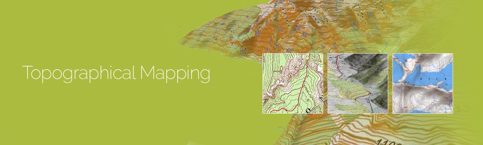
Topographic mapping services helps in route planning, thematic data preparation, and decision-making for telecom and transport services and disaster management. The 3D topographic maps cover an area of approximately thousands of square kilometres and therefor require experienced expertise.
GeoPro IT offers topographic mapping services to create comprehensive topographic maps and 3D topographic maps to the specified projection parameters, contours with ‘Z’ values, relief & planimetric details. GeoPro IT has successfully executed large-scale topographic mapping and 3D topographic mapping project. The general steps involved in topographic mapping and 3D topographic mapping project are:
- Raster to Vector conversion of 3D topographic maps are conducted using high end, up-to-date CAD software such as AutoCAD, MicroStation etc.
- Different features of the 3D topographic maps such as contour lines, boundary lines, transportation, water areas, vegetation, habitations, forest areas etc. are captured
- These features are then digitized in different layers to generate a topographic map in vector format.
- The 3D topographic mapping is done by assigning the Z-values to the contours and generating the 3D terrain model of the topography.
- With the help of 3D topographic maps GeoPro technical experts create digital terrain models (DTM), digital elevation models (DEM) and triangulated irregular networks (TINs).