GeoPro has been working with the local and national governmental organisations for a long time now and understands the uniqueness and confidentiality of governmental work.
Many government aided bodies are recurring clients of GeoPro, as GeoPro provides a unique platform for generating timely and cost effective deliverables. The work involves GIS services such as georeferencing, satellite image processing, image classification, digitization, attribution, theme creation, map preparation, data analysis and report generation, computer aided designing and drafting services and remote sensing services. The client’s requirements are paid utmost attention and the work is done in close co-ordination with the client.
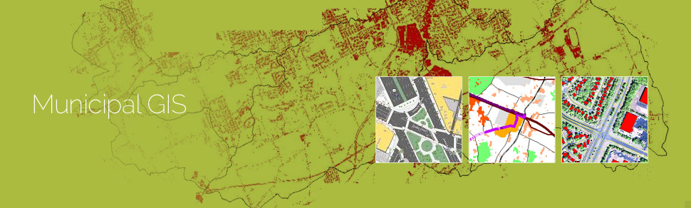
A municipal GIS system is a GIS system which manages various tasks of a municipality such as property tax, birth and death registration, socio economic data management and holding registration amongst other tasks. The municipal GIS service also assists in generation of a geospatial view of the current municipal area linked with the corresponding up-to-dated database.
The databases ideally possess attributes of every individual property with information such as land owner, co-owner, mailing & permanent address, house style, built year, individual room measurements, compliance with the regulations of the building authorities, public / private utilities mapping to the plot, street characteristics and amenities. There can also be a provision of linking every individual plots with their digital photographs, and a link to the map showing the location of the plot.
A municipal GIS System involves several steps including:
- Computerization of land records
- Digitization of existing spatial entities such as base maps
- Updation of property records
- Property Tax Assessment
- Infrastructure database creation
- Survey of the individual properties
- Updation of the non-spatial database on a day to day citizen centric level
Urban Infrastructure planning, development and analysis for the future infrastructure requires a robust municipal GIS system in place. The generation of thematic map / zoning map created a high visual impact and is used for assessment of several sectors such as for water network planning, property mapping by assessor, snow plowing in temperate regions, maintenance of cities and civic amenities services, etc.
The updated spatial and non-spatial database on the Municipal GIS system helps the concerned municipality to export and print the generated maps for any specific usage by the concerned field officer, or the property owner at any point of time thereby saving cost and time.
A citizen centric service center is also organized wherein a daily updation of the spatial and non-spatial database is being taken care of, thereby keeping this Municipal GIS System in an updated position.