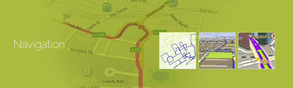
Navigation mapping assists the navigation content providers using GIS, GPS, and Remote sensing technologies instead of traditional method of manual assimilation of data for generation of navigation content. The accuracy of the new technology ensures creation of flawless maps. The rampant increase in the number of people who use computerised navigational services for everyday use. This trend has led to the development of new and innovative geodata content services and products.
GeoPro IT offers mapping of:
- Street and road network
- Point of interest
- 2D Landmarks
- 2D footprints
- 3D city models
- Indoor Building Maps
- Street Digitization
- 3D Landmarks
The maps are created while paying attention to details such as grid alignment, capturing dimensions accurately, positional accuracy and completeness of content. The data can be provided on multiple platforms.
GeoPro uses high end software such as ArcGIS, ERDAS Imagine / ER Mapper, MapInfo and AutoCAD Map to generate the final product in varied formats according to the project’s requirements.